 Satellite
images have shown the palaeo-channels of the Sarasvati river in NW India. Satellite
images have shown the palaeo-channels of the Sarasvati river in NW India.
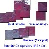
Satellite Composite Images (Sindhu, Yamuna, Sarasvati River basins)
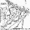
The channel was navigable from Rupar to Lothal and beyond through the Rann of Kutch and
the Persian Gulf to the Sumer, between the Tigris and Euphrates rivers.
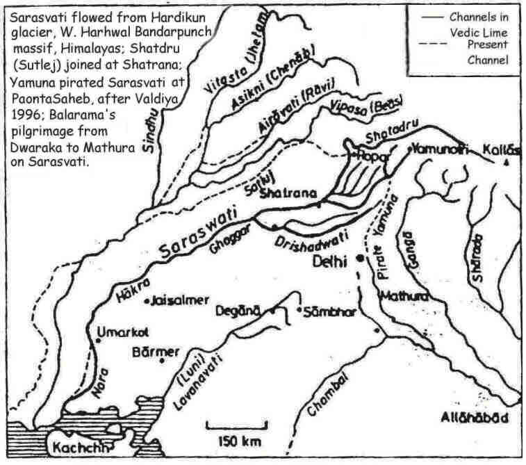
Analyses by geologists and glaciologists have
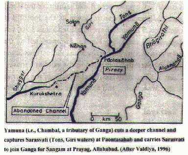
shown the secular sequence of desiccation of the Sarasvati river due to capture of
Sarasvati river tributary (Yamuna) by Ganga, the migration of another Sarasvati river
tributary (Shatadru) away from Shatrana towards the Sindhu and deposition of sands on the
river bed due to sandstorms in the central zone of the Sarasvati river basin (Marusthali
or the Great Indian desert).
 Map of Mehergarh and surroundings. Map of Mehergarh and surroundings. |
 Fire-workers and
bronze metallurgy Fire-workers and
bronze metallurgy
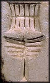
Portable furnace and gimlet depicted as a
device on Sarasvati-Sindhu seals
 Excavations at Sibri (ca. 2000
B.C.)(Jarrige) Excavations at Sibri (ca. 2000
B.C.)(Jarrige)
 Bronze shaft-hole axe-adze, Sibri
(Jarrige) Bronze shaft-hole axe-adze, Sibri
(Jarrige)
( A cylinder seal with zebu and lion,
Sibri {Jarrige) A cylinder seal with zebu and lion,
Sibri {Jarrige)
Quetta treasure with alabaster vases, gold goblet, gold bulls, bronze implements and
terracotta vase
|
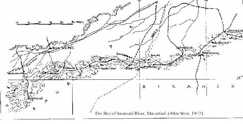
Dry bed of Sarasvati river, Marusthali (After Stein, 1942).


This facilitated trade between Sumer and the
Sarasvati-Sindhu civilizations, ca. 2500 B.C. from over 1600 ancient sites on the
Sarasvati and Sindhu rivers.The major sites many of which have yielded the script
inscriptions are depicted on the map. (Note the clustering of sites near the Rann of Kutch
and on the central zone of the Sarasvati river, close to the ancient Khetri
copper mines in Rajasthan. |
 Kalibangan,
cylinder seal Kalibangan,
cylinder seal Kalibangan, seal Kalibangan, seal
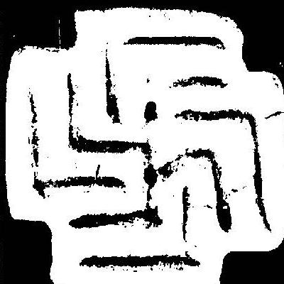 Terracotta seal, Svastika,
Sibri, 2800 B.C. (Jarrige) Terracotta seal, Svastika,
Sibri, 2800 B.C. (Jarrige)
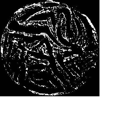 Terracotta seal, running animal,
Sibri, 2800 B.C. (Jarrige) Terracotta seal, running animal,
Sibri, 2800 B.C. (Jarrige)
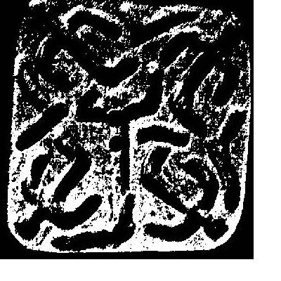 Terracotta
seal, human figurines, Sibri, 2800 B.C. (Jarrige) Terracotta
seal, human figurines, Sibri, 2800 B.C. (Jarrige)
 Bronze
copper pin, Sibri (Jarrige) Bronze
copper pin, Sibri (Jarrige)
|
| One sea-trade route
was from the Tigris-Euphrates rivers through the Persian gulf to the sites on the
Sarasvati-Sindhu rivers. 
The map shows the locations of ancient copper and tin mines
in the regions of Anatolia, Mesopotamia and Persia.
 The map shows the extent of the
ancient Sumer civilization from 3200 B.C. Some of these sites have yielded seals of the
Sarasvati-Sindhu civilization attesting to trade between the Tigris-Euphrates and
the Sarasvati-Sindhu doabs. The map shows the extent of the
ancient Sumer civilization from 3200 B.C. Some of these sites have yielded seals of the
Sarasvati-Sindhu civilization attesting to trade between the Tigris-Euphrates and
the Sarasvati-Sindhu doabs.
Trade routes also operated overland through
the Bolan pass to ancient Iran from ancient sites such as Mehergarh, Sibi and Sibri.
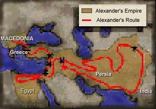
Alexander's campaign: route map
|

Fire altar in a Zarathushtra fire-temple
In the historic periods, the campaigns of
Alexander demonstrate the areas which had established a level of production of
highly-valued metallic products.

Ancient dagger blade. Luristan. 12-1/2"
length (10-1/4" of blade.) With raised spine. Bronze, choice green patina.
1200BC-800BC.
Battle-axe


Bronze weapon samples
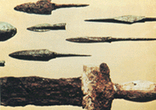
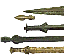
Bronze sword samples (1)
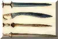 Bronze sword samples (2) Bronze sword samples (2)
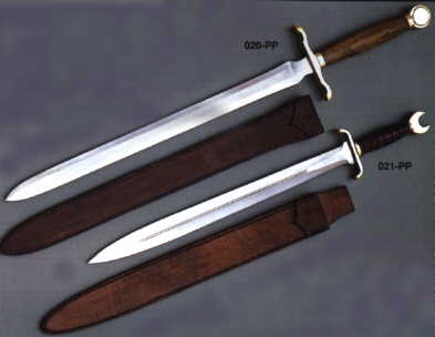
Samples of swords used in the Trojan wars.

This is an artists's representation of the ancient Iranian soldiers bearing arms: javelin,
sword, quiver and arrows ca. 300 B.C., the date of Alexander's campaign from
Macedonia..
|